2019 02 14 Gungahlin Pond Percival Hill NR Gold Ck with MelbaShed
This was a walk from a car park at Gold Creek, through Percival Hill Nature reserve, around Gungahlin Pond and back through Percival to Gold Creek. We stopped to visit a suspected child’s grave site and an Aboriginal Procurement site (PH12). This was a Melba Shed walk
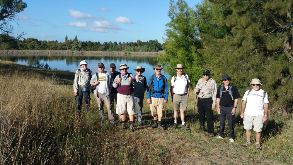
Featured image is of Greg & Guys at a Pond below the Golf Course and next to the Promontory Estate
The Gold Creek area of Nicholls in the ACT, is a special precinct built around part of the old village of Ginninderra from the late 1800’s. Part of the old school building is still there and used for commercial purposes as well as other old buildings such as Deasland Homestead and the old Blacksmiths Workshop. More modern buildings have been built to make more of a tourist and place of interest. Locations include Cockington Green (minature village), a Dinosaur Museum, Chapel, Hotel, lots of cafes, tea shops, restaurants, even McDonalds. Just to the north of Gold Creek village is the Gold Creek Golf Course which winds its way around the suburb of Nicholls and some of its special estates. To the south is a gold course large pondage with Percival Hill Nature Reserve just east of that.
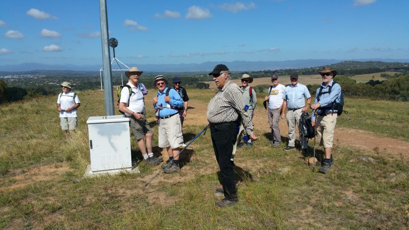
On this trip 11 from Melba Shed parked there and then walked up and around Percival Hill and also Gungahlin Pond. Overall it makes a nice walk with some great views as well as tinge of mystery and historical sites thrown in for good measure.
So 11 walked. 8 met at the Shed in Melba by 8.00AM. Then we drove to a car park at Federation Sq, Gold Ck, Nicholls, Canberra directly west of Cockington Green. Here we were met by 3 more.
Then around 8.23AM we walked past a pond to Percival Hill, stopping to view what Richard Poon had found, a child’s grave in the bush surrounded by a dozen metal bolts in a rectangular form. Then it was around Gungahlin Pond, and back to Percival Hill then down to Gold Ck through some open bushland and along a bit of the CCT to Deasland. There was a small climb of about of about 65m from the pond to the hill.
We finished the walk in Federation Square around 11.04PM where we then had some coffee & snacks and ginger beer and milkshakes for some at at ‘T on the Square‘.
We started the walk at 8.23AM and finished at 11.04AM, thus taking 2 hrs 40mins. The trip was a Medium Walk, of 9.6Km.
The weather was fine, sunny, no wind and not too hot at around 20C, which contrasted with recent 35-40C days and a very windy and dusty day on the 11th Feb.
Walkers: Bob Salmond, Colin Fitzpatrick, David Ruthven, Drew McDonald, Ian Ruthven, Neville Viney, Peter Coppin, Rob Hansen, Tony Danaro, Wally Bezeruk, Greg Hutchison.
Drivers: Drew, Neville, Fitz, Peter Coppin.
Map of the walk overall | More pictures in Google Photos | gps, gpx and GE files are located in Google Drive
Notes: GPS map view on map base using open source OSM NSW cycle map | The area of the walk is covered by the NSW 1:25,000 topo map HALL. However it does not show all the tracks well around Percival Hill


