2023 09 28 Black Mountain & Little Black Mountain Walk
This was a 7.5Km Medium-Hard walk from a parking spot on Belconnen Way, Canberra south to walk around the Forest Loop track then along the Little Black Mountain ridge and then back to the car.
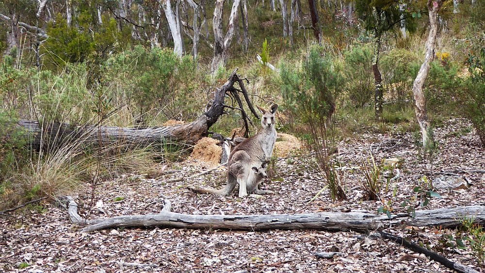
Featured Image is Kangaroo with a Joey in the pouch
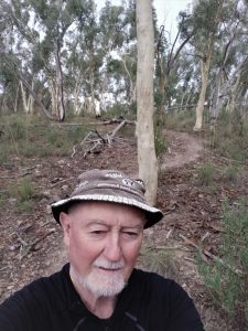
Black Mountain Nature Reserve is a great spot for a variety of Medium to Hard walks with numerous tracks & footpads and it always exhibits great views all around Canberra. I did this walk by myself to keep up my exercise regime and to get my body ready for a Kosciuszko walk maybe next month. It was a nice Medium-hard walk.

I parked along Belconnen Way. Then from about 8.30AM I walked across the Powerline track to take a short track to the Link Firetrail, then i headed south across open grassland and woodland until I reached Finnerans Rd. I then had to go west along it for 100m or so before taking an old nice walking track up to cross another main trail but I continued across it taking another footpad up to the main Black Mountain trail where I came upon several kangaroos one of which had a joey sticking out of her pouch. I then went west a short distance to take a dirt trail up a little before heading south on another main trail for a couple of hundred metres before taking another short footpad up steeply to pick up the Circular Forest trail that runs right around near the top of Black Maintain. I headed south for a a fair distance getting some good views out to the west.
I then turned up hill to walk steeply up a rough rocky steep climb to reach the main road that goes up to Black Mountain top. I then walked along the dirt edge right to the top before taking another track done below the Telstra tower to regain the circular forest walk. I then took the forest walk back around the east side until I reached the main north track that I had been on after meetings the kangaroos.

I then wandered down this steep dirt track until I could divert to a nice little track down to the Black Mountain Track which led me to the Little Black Mountain Circular fire trail which I took for a short distance before I could turn left and climb a track onto the ridgeline that forms Little Black Mountain. I took the track that follows the spine down to regain the Little Black Mountain fire trail. I then followed the Powerline Trail that I picked up west, checking out a couple of gates that led down to Belconnen way before reaching my car just before 10AM.
It was a Medium-Hard walk of 7.5km, taking 2hrs 20 mins incl breaks.
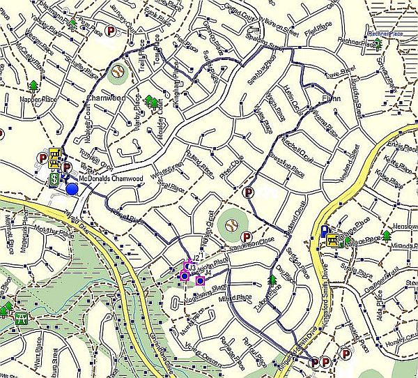
Map of walk | Pictures in Google Photos | files including gps located in Google Drive
Notes re Map: GPS Map View provided using Oziexplorer on an Oztopo base NSW topo map | The area of the walk is covered by the NSW 1:25,000 topo map CANBERRA