18 May 2017 DeSalis Nursery Swamp with MelbaShed
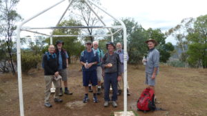
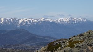
I led this walk to De Salis Cemetery, Tharwa & Nursery Swamp, Namadgi with 5 of us walking. We met at the Shed by 8.00AM & drove in 2 cars to Tharwa Bridge where we parked & then walked from 9AM to the historic De Salis Cemetery & back. We then continued driving to the Orroral Valley & then walked from around 10.30AM up a track into Nursery Swamp & then checked out an aboriginal rock art site. The day turned out to be superb weather although there had been a cool breeze on us near De Salis Cemetery
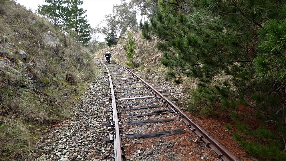
Featured image is De Salis Cemetery Track along Murrumbidgee River


The walk up to Nursery Swamp from the Orroral Valley Car Park was on a formal track and required a climb of 200m over 2Km. Then it was reasonable but some hit & miss walking along a vague footpad along the edge of the swamp to find the historic rock paintings. Around the rock art site we found another small split rock & a Geocache site called ‘Walking in the Landscape-GC1MXV5’ which was some 50m from the rock art site in another crop of rocks with their own cave formation. We then crossed a little creek & picked up the informal Rendezvous Ck to Nursery Swamp track & took it back to where we found another geocache called ‘Namadgi Art Bear Right-GC1VFE3’. We then regained the track to the car park which we arrived back at around 2.30PM.
Interestingly the Nursery Swamp to Rendezvous Ck track was put in years ago to fight fires and probably was used years ago by the pastoralists and before them the aboriginal original residents. Down on Rendezvous Ck is a nice grassy campsite which I have previously visited.
The walk was Medium-Hard but in reality was not that hard, distances were 2.9Km for De Salis return section, and around 7.8Km for the Nursery Swamp section.
Walkers: David Leach, Drew McDonald, John Edge, Paul Taylor, Greg Hutchison Drivers: David Leach, Greg Hutchison
Map of walk De Salis Section | Map of walk Nursery Swamp Section | Google Photos | Google Earth GPS file
Notes: GPS Map Views from Oziexplorer using OzRaster Maps with permission of © BKK Enterprises Pty Ltd | gps, gpx and GE files are located in Google Drive