2021 08 12 The Pinnacle & Weetangera Cemetery with MelbaShed
This was an 6.7Km Easy-Medium walk from a parking spot on Springvale Dr, Weetangera, Canberra on some management trails and footpads down and across The Pinnacle Nature Reserve and around the edge of Hawker to visit the old historic Weetangera Methodist Church. This was Melba Shed walk No 257 of 12th Aug 2021.
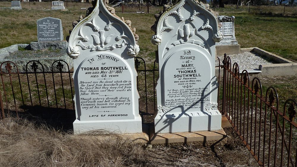
Featured image – Two Historic Southwell Grave Stones at the historic Methodist Weetangera Cemetery
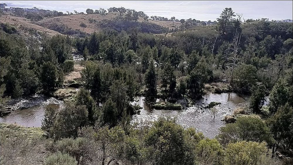
I led this walk with 5 Shed members. 2 met at the Shed & drove to the start point on Springvale Drive, Weetangera where we met 3 more. We then started walking at 9AM & walked down on the Valley Track before turning west over grassland to reach Bunny Hill which gave some minor views to the east & south. We then went down a bit of the Pinnacle Central Track before heading north west over a nice easy going foot track that took us across the Macroryncha Tk to join the Dowling track that we followed north to join the Springvale Tk.
Then we followed through a couple of Cavellettis before finally following the fence line track behind suburban Hawker until we could take an underpass under William Hovell Dr & then turn south for a short distance to reach the historic old Methodist Weetangera Cemetery.
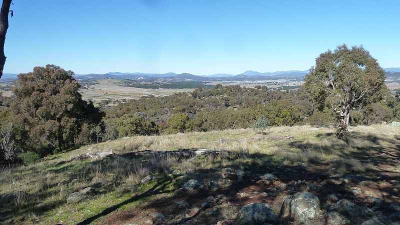
We had a short break viewing some of the headstones & plaques on one of Canberra’s oldest cemeteries. We headed back along the boundary fence track & some of the Springvale Tk before turning south east to the visit The Pinnacle after which it was a short walk back to the cars by 11.32AM.
John and Greg went to Belconnen Mall for coffee and on the way we learned that our city was going into a 7 day lock down at 5PM to help us contain the dastardly COVID19 Variant delta virus.
The Bicentennial National (Horse) Trail traverses the northern boundary of the nature reserve and goes close to the old cemetery.
It was an Easy-Medium walk of 6.7Km taking 2 hrs 32m incl breaks.
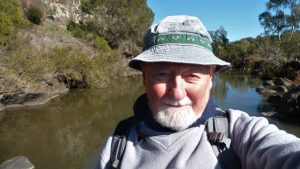
Walkers: Drew McDonald, John Edge, Keith Thomas, Neville Viney, Greg Hutchison Drivers: Drew, Neville, Greg
Map of walk | Pictures in Google Photos | files including gps located in Google Drive
Notes re Map: GPS Map View provided using Garmin Basecamp on an Open Street Maps (OSM) base | The area of the walk is covered by the NSW 1:25,000 topo map CANBERRA