2017 08 10 Palmerville Percival Hill with MelbaShed
I led this walk from Palmerville to Percival Hill then to Gold Creek and then back to Palmerville along the Canberra Centennial Trail (CCT), Canberra, ACT with 7 of us walking. The weather was cool & sunny. It was interesting to see at Palmerville where early settlers and convicts has lived although all the buildings had long gone
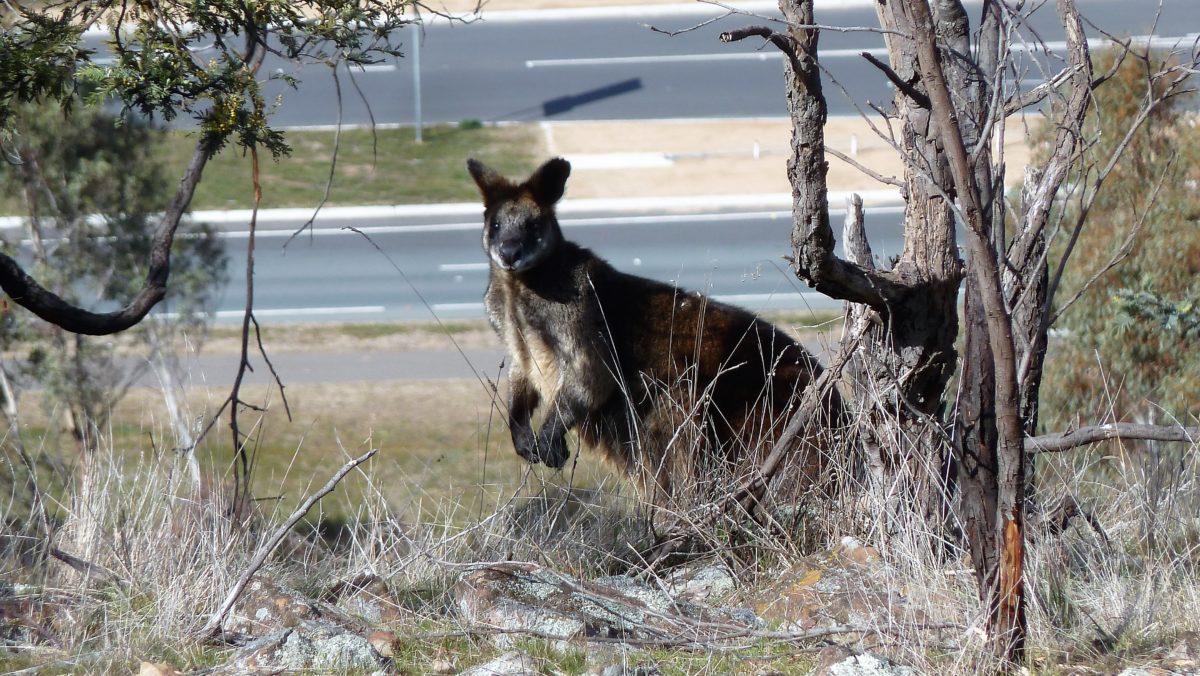
Featured image is of a black coloured Rock Wallaby on the edge of Percival Hill
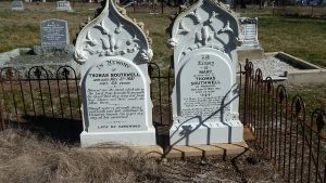
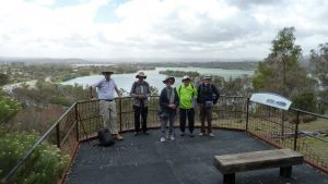
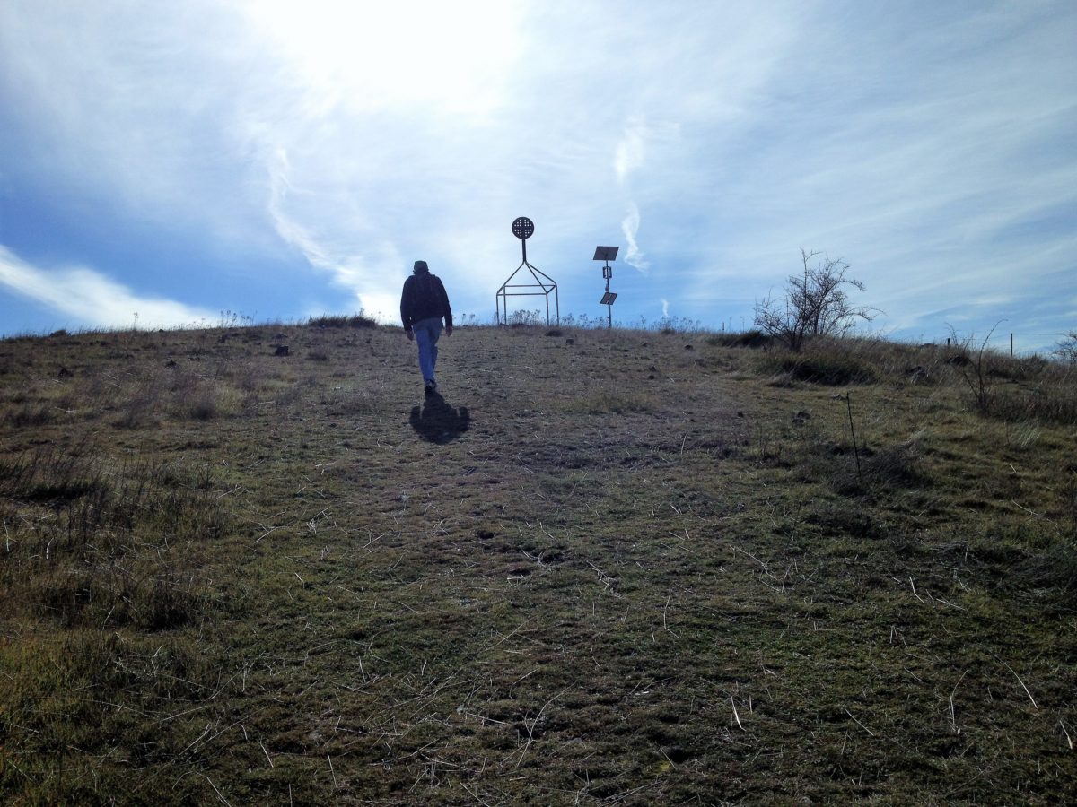
7 walked with 5 of us meeting at the Shed by 9.05AM, then driving to a parking spot on Owen Dixon Drive opposite McKellar Soccer Club at Palmerville. Here we met two more, one came by motor bike & one on foot. Then from 9.20AM we viewed historic signs & walked through Palmerville looking at more historic signs & continued along a grass track to the Barton Highway. Then we walked under the highway & up a short trail to Percival Hill. On the way we came across a large number of roos & several rock wallabies & especially one wallaby who seemed to want to hang around. We then viewed from the top across to the “little boxes” of Crace, one of Canberra’s new suburbs. Then we continued down towards Gold Ck golf course stopping to check out a likely child’s grave site previously discovered by Richard Poon, who was with us. Then we continued past a large pond to Gold Creek for coffee at Thumper & Miss Bunny Coffee shop. They have an interesting brick pizza kiln just outside near where we sat. We then returned past the Dinosaur Museum along the CCT down the edge of the Barton Highway & a track along William Slim Drive, finishing back at Palmerville about 12.25PM.
The walk was Easy-Medium, distance was 9.1Km. We took 3 hrs 5mins
Walkers: Drew McDonald, John Marsh, Richard Poon, Roger Amos, Steve Mawer, Tony Danaro, Greg Hutchison
Drivers: Tony Danaro, Steve Mawer, Drew McDonald (motor bike)
Map of walk | More pictures in Google Photos | Google Earth GPS file
Notes: GPS map view on map base using open source Open Street Maps (OSM) NSW Cycle garmin map | gps, gpx and GE files are located in Google Drive