2022 12 15 Melba Evatt Lake Ginninderra with MelbaShed
This was a 9Km Easy-Medium walk along the track beside Ginninderra Ck from Melba past Evatt to Ginninderra Dam and then along Diddams Close to the Bridge over Lake Ginninderra to Birrigai Cafe and back along the other side of Ginninderra Ck. This was Melba Shed walk No 284 of 15th Dec 2022.
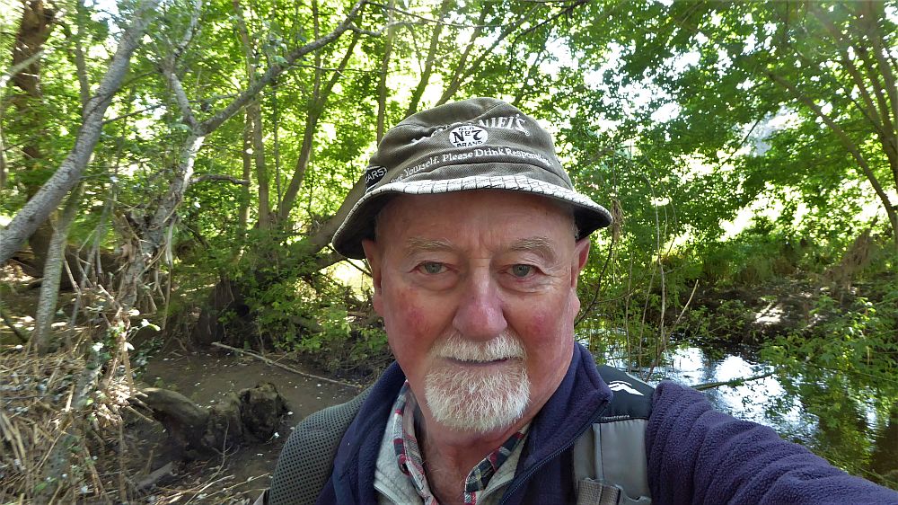
Featured image – View of Greg along side Ginninderra Ck
I led this walk with 3 of us walking. We met at the Shed by 8AM and started walking about 8.12AM.
We walked along the Ginninderra Ck track and stopped to check out the Melba Half Acre Wood which survived the floods & spurned a longer nice track along the edge of the creek for about 75m.
We then went along the main path deciding to check out one of the new ponds as well as seeing the Stepping Stones that allow a crossing of Ginninderra Ck. We then went up the path to above the Dam then along a small part of the track around the lake, then along Diddams Close to walk across the main bridge to have coffee at the Birrigai Cafe in the Kangara Waters retirement village. We were the first there. However the people started arriving after we were served. Its a nice location and such that many cyclers and visitors also stop there for their morning coffee hit.
We then returned along the edge of Ginninderra Drive, down across the track below the dam & along the southern side of Ginninderra Ck. It was covered with some high grass after the heavy rains we had received in the last couple of years. We detoured to try out the Stepping Stones that allow you to cross the creek. However my laces got caught & nearly caused Harry to fall into the creek. We didn’t actually cross, but went down the south side of the creek until we could cross at the main bridge then head back to the Shed by around 11.30AM.
It was an Easy-Medium walk of 9Km taking 3hrs 21m which included our lengthy stay at Birrigai.
Walkers: Harry Angel, Keith Thomas, Greg Hutchison
Map of walk | Pictures in Google Photos | files including gps located in Google Drive
Notes re Map: GPS Map View provided using Garmin Basecamp on an OSM Map base. The area of the walk is covered by the NSW 1:25,000 topo map CANBERRA.