2022 12 08 Hall Circular Walk with MelbaShed
This was a 4.1Km Easy circular, nice and interesting bush walk around Hall Village, Canberra in the ACT. This was Melba Shed walk No 283 of 8th Dec 2022.
Featured image – Topographic map view of the walk
I led this walk with 7 of us walking. 4 of us met at the Shed by 8AM and drove in 2 cars to Hall. I had to pick up one other & then we met two others at Hall. We left around 8.30AM then looked at the memorial 25 pounder WW2 howitzer.
We then walked down the fence which has memorial plaques to those from Hall who served in the AIF. We then headed north east along the edge of the oval & Hall Ck to reach the second oval which had been taken over by a huge Christmas tree with numerous smaller trees around it. Apparently some local Christmas event is to be held there. We continued around the boundary to stop & see a large bees nest in a large gum tree.
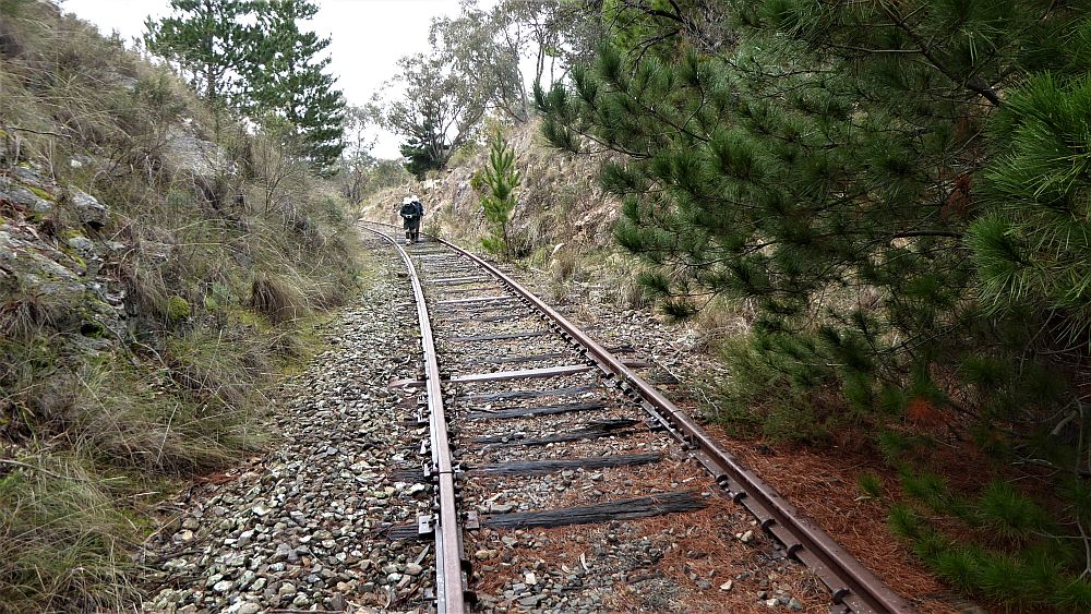
We then continued around until we could take a gate north past the rotary storage containers across another small area to then have to climb over the first stile. From there the track was well defined & nice going until we had to climb over stile 2 & take a section along a fence, shortly reaching the CCT trail that goes from Hall to One Tree Hill & onwards. From here we walked downhill for a short 20m to then turn & take the trail along another fenceline before reaching a marker post adjacent to where we joined an unnamed road that took us down to cross the main Victoria St.
We then tracked north -west across open grass to climb through a gate after which it was fairly easy going until we were swung around to head south & pass through two more gates.
We initially took the wrong direction but quickly reversed the mistake & head up over a hill with trig points, until we had to climb through a fence & head then downhill to reach the west edge of Hall village.
We then passed the south end of Hall where there is an original well, toilets & picnic area, before walking along Gladstone St back to the cars around 10.05 AM.
We then partook of coffees, hot chocolates, & some had some excellent carrot cake at the Kynefin cafe. Strangely the weather was cool and breezy in places. We think Kynefin is welsh but I am still unsure of its pronunciation & meaning. It was an Easy walk of 4.1Km in 95min (1 hr 35m).
Walkers: Adrian Fryatt, Bob Salmond, Drew McDonald, Harry Angel, John Fuller, Tony Weir, Greg Hutchison
Drivers: Adrian, Drew, Harry, Greg
Map of walk | Pictures in Google Photos | files including gps located in Google Drive
Notes re Map: GPS Map View provided using Oziexplorer on an Ozraster topo Map base with permission of © BKK Enterprises Pty Ltd, http://www.gpsoz.com.au. The area of the walk is covered by the NSW 1:25,000 topo map HALL