2019 05 23 Settlers Track Namadgi with MelbaShed
This was a nice medium style of walk of 10.5Km through flat and undulating grasslands and slightly open woodland in Namadgi National Park. It was largely on a grassy trail with quite a few park signs outlining the history of the area and huts plus information on their lifestyle and how they used various items around to build a life. This was a Melba Shed walk No 205
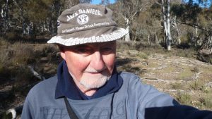
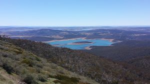
Featured image is of Greg at the Westerman’s old homestead site, Namadgi National park
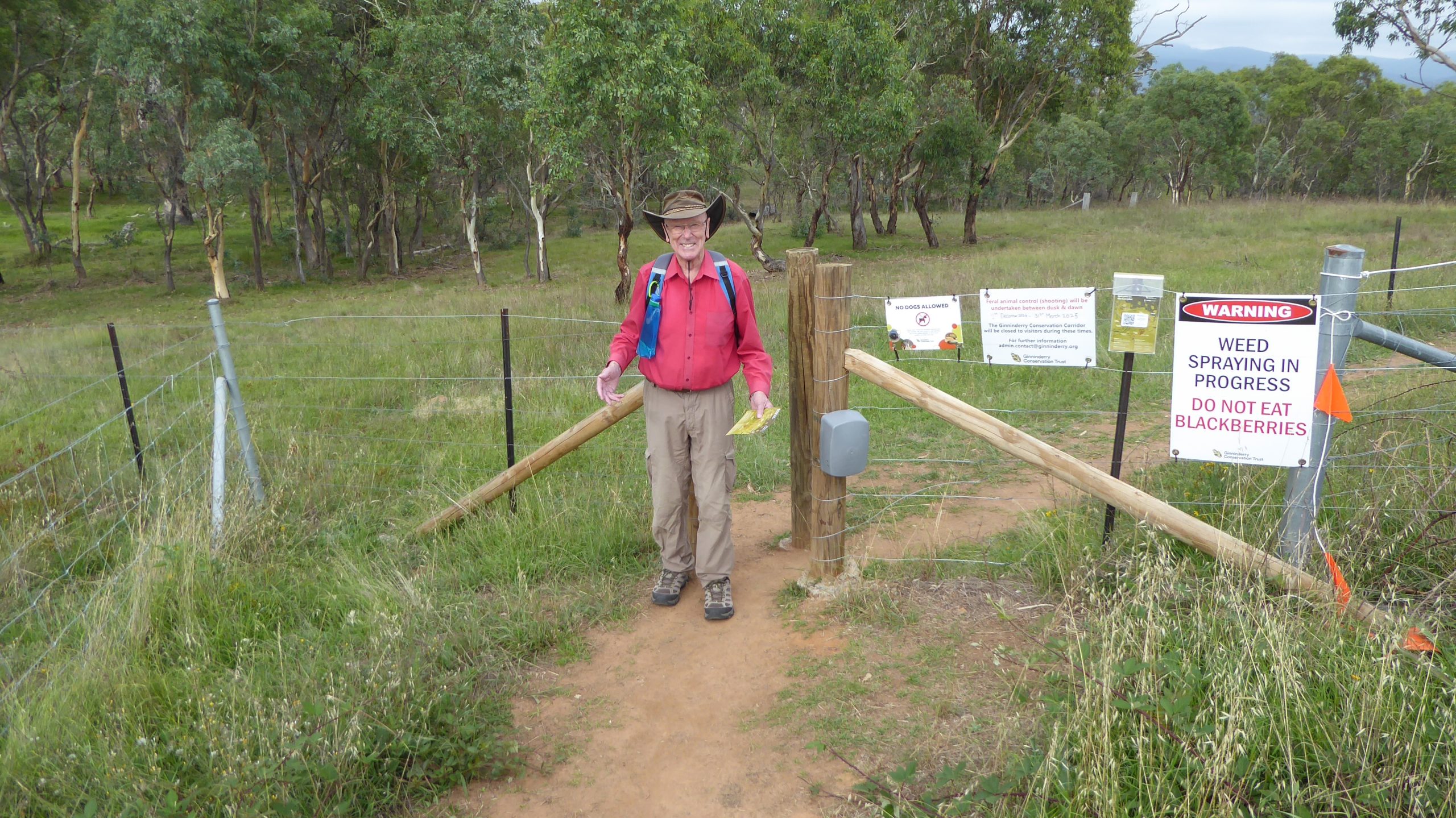
Settlers Track, Namadgi. 5 of us met at the Shed by 7.30AM, then drove in 2 cars to Namadgi and down the Boboyan Rd to Brayshaw’s Hut near the NSW border. It took close to 2 hrs drive & 92Km with the last 20km on a formed dirt road some of which was quite rough although the road had recently been graded. On the dirt section a Roo ran in front of one car for a couple of hundred metres & fell over. He soon picked himself up and left.
At 9.40AM we started by visiting Brayshaw’s hut close to the car park. We then headed west up a grassy foot track through woodland stopping to read signs about how the early settlers ring barked trees to let more light into the forest & allow more grass to grow.
We also stopped to view Grassy Ck yards and sheep dip & continued close to the next hut where we read about the three types of fencing used.
At Waterhole Ck we stopped for a break then went slightly further west to the Waterhole Hut Stockyards. We then went back past the hut then along a firetrail to the Westerman’s Homestead. On the way we met a ranger who put a mixture of wheat & poison out for Pigs & then spayed painted a spot nearby with pink paint to show where he had placed the bait.

Westerman’s Homestead was the best hut with 4 rooms & two fireplaces. The area was nice with two large pines behind it & a popular. They also had a small cemetery 150m south that we visited. We then headed back to the car along another nice grassy section.
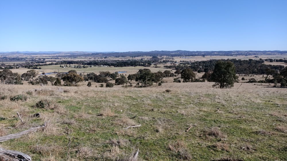
We had started the walk at 9.40AM and finished at 1.25PM. Overall the walk time including breaks for morning & lunch was 3hrs 45m. We arrived back at Melba around 3.30PM. The guys found the walk very satisfying with nice sunny weather & beautiful scenery & valleys with lots of roos.
It was a Medium walk, of 10.5Km.
On the way home we had coffee at Maccas next to Lanyon Marketplace in Condor.
Walkers: Bob Salmond, Colin Fitzpatrick, Neville Viney, Drew McDonald, Greg Hutchison Drivers: Fitz, Greg
Map of the walk | More pictures in Google Photos | gps, gpx and GE files are located in Google Drive
Notes: GPS map view from Oziexplorer using map from NSW Topoview DFSI’s Spatial Services approval for display | The area of the walk is covered by the NSW 1:25,000 topo maps Yaouk & Shannons Flat