2018 11 08 Cooleman Ridge Mt Arawang Walk with MelbaShed
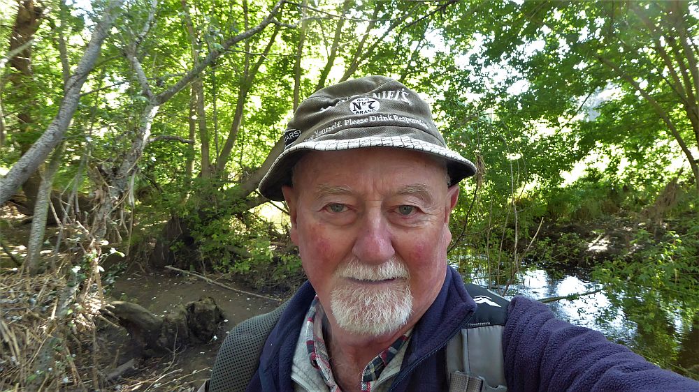
This was a walk from the car park on Kathner St, Chapman, in Western Creek, Canberra around Cooleman Ridge Nature Reserve. The weather was a cool and sunny. This was a walk that provided sensational views out west over the Murrumbidgee River valley to the Tidbinbilla & Brindabella Ranges, north over Canberra and south to Tuggeranong. This was a Melba Shed walk
Featured image is of Greg on Niblo Hill Cooleman Ridge
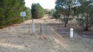
I led this walk with 7 of us walking. 6 of us met at the Shed by 8.00AM & drove to a car park along Kathner St, Chapman, where we met one more. Then at 8.38AM we started walking clockwise around Cooleman Ridge NR & Mt Arawang, mostly on fire trails & foot tracks with some over grass sections.
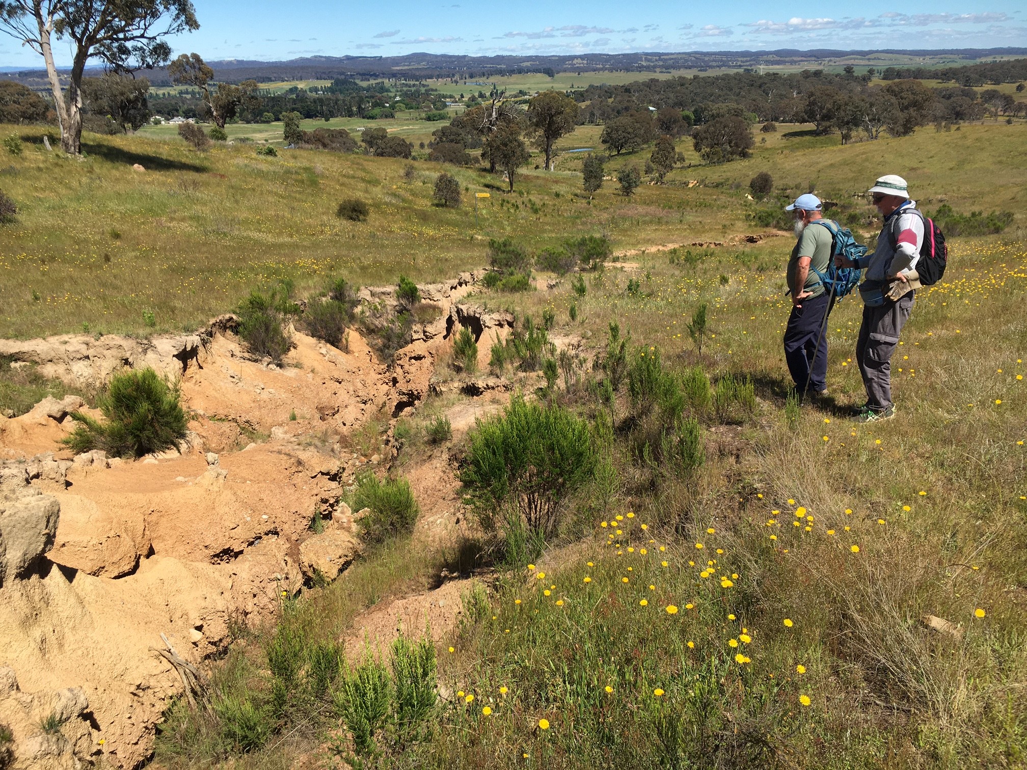
We initially climbed Cooleman Trig, 727m & then walked along the ridgeline to climb also Niblo Hill. We then tracked along the eastern side trail before ascending Mt Arawang, 765m. We then descended Arawang down a steep trail to the east and joined the CCT Cycle Trail walking down and around the west side of Arawang following the bike route upwards back onto the ridge north of Mt Arawang.
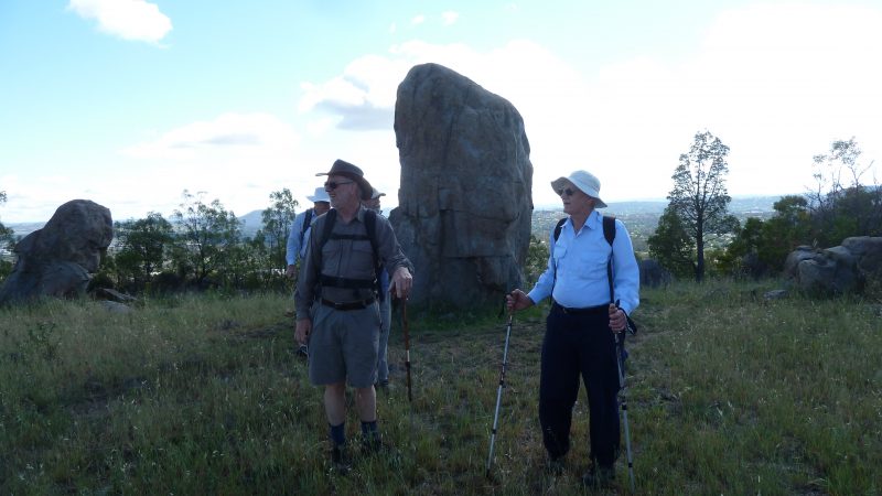
We then tracked along the ridge but turned slightly west to take the CCT track down past a large tank & then around to the west of Niblo & Cooleman Trigs before rejoining the CCT route & stopping to take in the majestic vista at the Mt Arawang Panoramic Lookout.
Views from hills along the ridge & Mt Arawang top were sensational over south Canberra, right up to One Tree Hill & over the Murrumbidgee Valley. After a wet day or so the weather for the walk was great with cool max of 19C sunny & light cool winds.
We finished just before 12PM, thus taking 3hrs 22mins.
After the walk 6 of us went to Chapman shops & stopped at the ‘Pastries on Perry‘ shop to have coffees, a milk shake & some pastries.
The trip was a Medium-Hard Walk, of 9.8Km, taking 3.3 hrs.
Walkers: Bob Salmond, Colin Fitz, Ian dePlater, Drew McDonald, Peter Coppin, Roger Amos, Greg Hutchison
Drivers: Peter, Roger, Fitz, Drew
Car Directions: From North Canberra we drove down William Hovell Drive, before turning south over Coppins Crossing, then along John Gorton Drive, and west along Cotter Road, before turning south along Eucumbene Dr, thence along Darwinia Tce, before turning east along Kathner St for 300m before parking near its junction with Percy Cres. There is no formal parking area but you can park along the road edge or on the grass.
Map of walk north section | Map of walk south section | More pictures in Google Photos | gps, gpx and GE files are located in Google Drive
Notes: GPS map view on map base using open source OSM NSW cycle map | The area of the walk is covered by the NSW 1:25,000 topo map CANBERRA. However it does not show all the tracks and features well.