2018 08 16 Mt Ainslie Labyrinth & Stone Circles with MelbaShed
This was a walk to climb to Mt Ainslie checking out the Five Senses Labyrinth and the 9 or 10 Stone Circles near the Lower Mt Ainslie Quarry. This was a Melba Shed walk
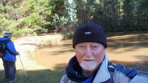
Featured image is of Greg with Guys at the Top of the Kokoda Trail overlooking Canberra City (Civic)
7 walked. 6 met at the Shed by 8.30AM, then drove to the parking spot on Kellaway St, Hackett via Phillip Ave, Dickson, where we met 1 more.
From around 9.00AM we walked through a bush track then up Old Tip to Summit track until we turned off & visited the 5 Senses Labyrinth with its adjacent ‘lean to’ or Cubbyhouse. The Labyrinth was first setup on 21 June 2006 and it is of 12m diameter. Its is known as the Five Senses.

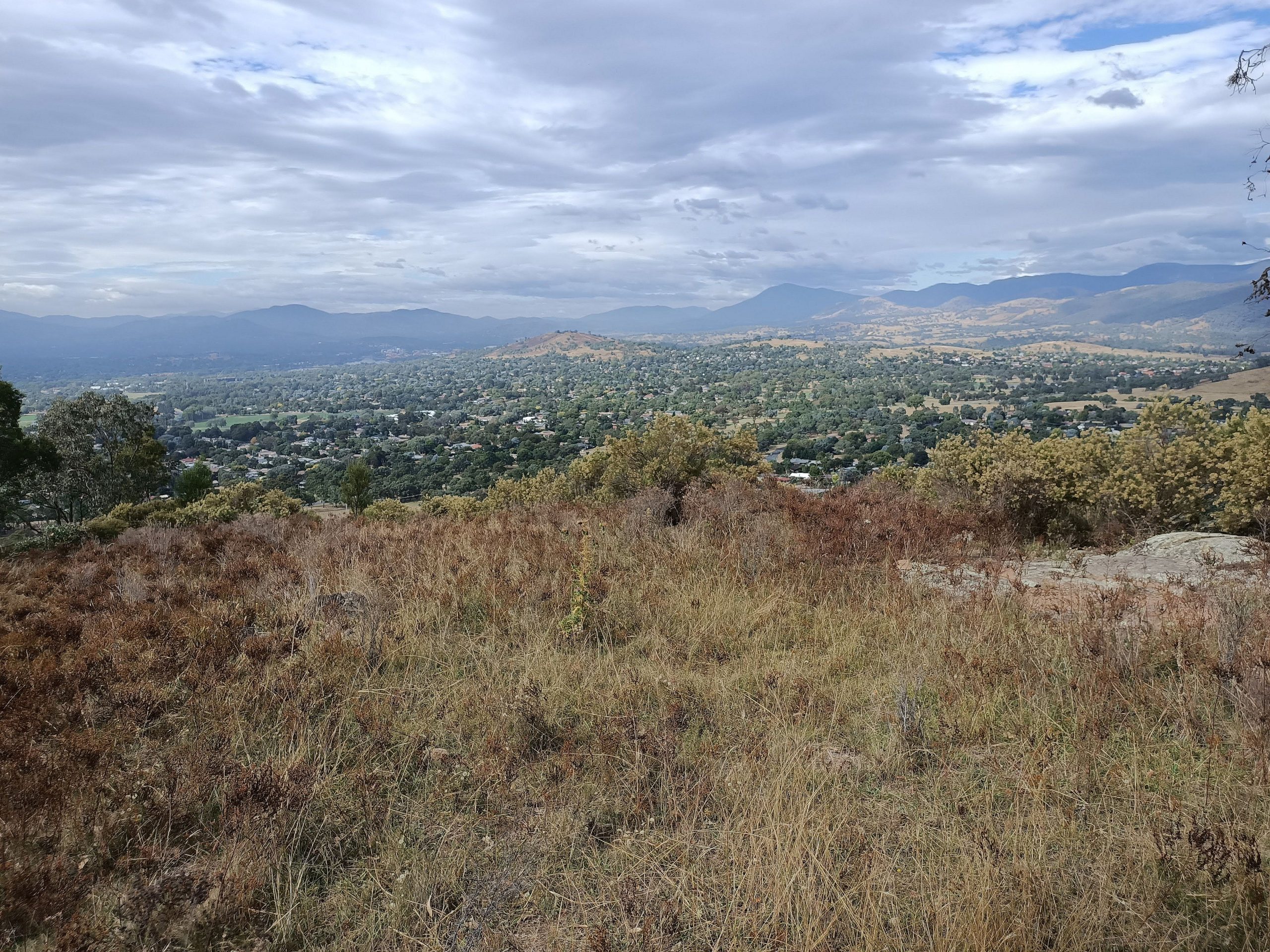
Then we walked down around the side of the main mountain a little & then took a sharp short uphill trudge to the summit.
From the top we walked down the main Kokoda trail until we were able to take a management trail & visited a solar emergency light with the 1st Stone Circle. Then a short downhill trip until we reached the Lower Quarry & then visited the main group of 9 stone circles. Some of these circles were quite small whilst some contained large rocks which must have taken the constructors a lot of effort.
Then we took a nice track that goes past the western edge of the circles back to the Kokoda Trail, up it a short way before taking various trails down & around the western edge of the reserve & back to the car park.
After we all retired to The Knox Made in Watson Shops for coffee and some snacks
We started at 9.01AM and didn’t finish until 11.44AM, ie about 2hrs 43min overall. Trip was 7.8Km, Medium quality with some steep climbing on trails.
Walkers: Colin Fitz, David Ruthven, Drew McDonald, Harry Redfern, John Marsh, Paul Taylor, Greg Hutchison Drivers: Fitz, Paul Taylor, Drew McDonald
Altitudes: Car park location was around 620m altitude & the top of Mt Ainslie is about 842m.
References: Reference for the labyrinth known as the Five Senses: Mt Ainslie Community Labyrinth
Map of walk | More pictures in Google Photos | Google Earth GPS file
Notes: GPS map views provided on map bases using OSM NSW Cycle Maps created using Garmin’s Mapsource and Basecamp mapping products | gps, gpx and GE files are located in Google Drive