2017 08 31 Qbn River Oaks Estate Walk
On Thurs 31st August Drew & I (Greg), did this walk from a parking spot at the Queanbeyan (Qbn) Bus Interchange to Oaks Estate River Heritage walk & along the banks of the Qbn River. We needed to understand the suitability of the walk for older people to undertake it as well as absorb some of the historic & cultural aspects of the area
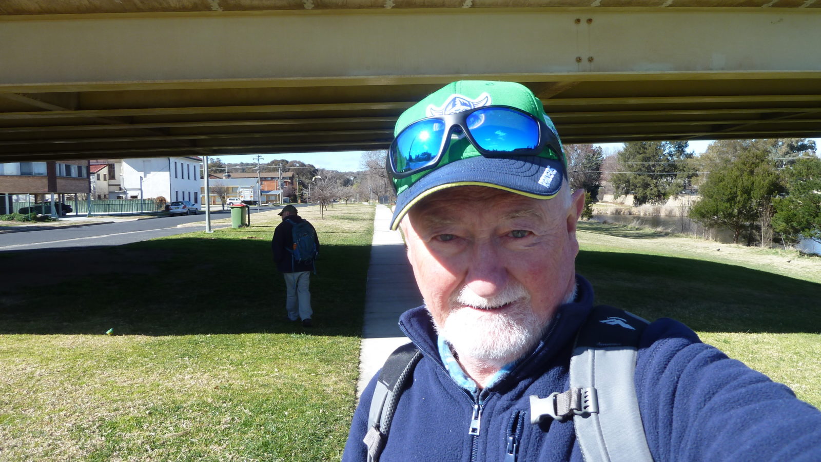
Featured image is of Greg on under Monaro Road Bridge over the Queanbeyan River
This was an 8.7km recce walk with Drew & Greg around the Oaks Estate River Corridor Heritage Walk on the border of the ACT combined with a Queanbeyan (Qbn) River Walk. We parked at the Bus interchange car park (untimed parking) behind Morisset & Collett Sts Qbn, then walked up Collett St & across a railway bridge to Gillespie Park in Oak Estate which is the start of the Oak Estate Walk section. We went straight down River Street to the River Crossing point, then we took a detour SW to the Oaks Crossing point on the Molonglo River with a short extension through a nice Elm Forest to see several Osage Orange Trees. We returned back to the River Crossing to follow the path along the Molonglo before the junction & then the Qbn River. On the way we passed an old flying fox across the river. Walking along the Qbn River we went under the Railway bridge, past the Qbn Cemetery, then back to Morisset St to cross the river, across the road, then along the East bank of the River before walking under the Monaro St bridge. Then it was further along the bank until we crossed the River again on the heritage listed 1938 Qbn Suspension Bridge, located at the intersection of Isabella & Collett Streets.

We then went 500-600m further along the West bank until we were stopped by a house and so returned. It seems possible to walk along the east bank from the suspension bridge on the edge of the Golf Course.
Returning we followed the path along the west bank until we reached the Queen Elizabeth park just across from the Bus Interchange but went into the Millhouse Cafe across Collett St for coffee. Looked like a nice & popular cafe.
The walk was Easy, distance was 8.7Km. We took just under 3 hrs starting at 8.08AM & finishing at 11.00AM
We believe the walk is suitable for walkers, especially older walkers.
Map of walk North Section | Detailed Map of walk South Section | More pictures in Google Photos | Google Earth GPS file
Notes: GPS map view on map base using OZtopo Map with permission of © BKK Enterprises Pty Ltd, http://www.gpsoz.com.au | gps, gpx and GE files are located in Google Drive


