2017 04 17 Nursery Swamp Namadgi
This was a 14.5Km walk in Namadgi National Park to Nursery Swamp area to look at an aboriginal rock art site and work out a suitable walk for Melba Shed for May. It started at a Car Park along the Orroral Valley which is accessed from the Boboyan Rd driving south from Tharwa. I was also able to climb Nursery Hill through a labyrinth of mini rock valleys.
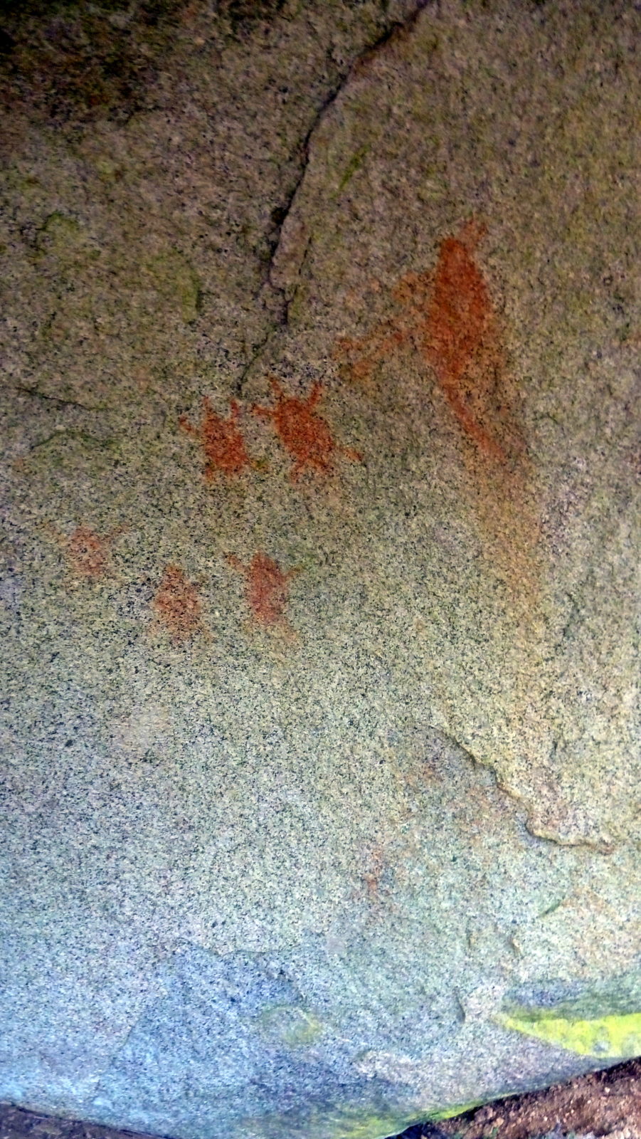
Features image are the paintings at Nursery Swamp Namadgi
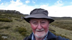
It was Easter Monday and turned out to be a beautiful day with light cloud and virtually no wind. The temperature probably was close to a max of 20C. I started walking around 8.45AM and didn’t return to the car until 4.45PM, around 8 hours total.
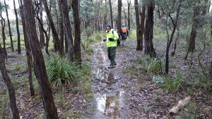
I walked for around 2Km up the long climbing trail that takes one from around 950m altitude at the car park to 1150m as you pass through a saddle entering the core of Nursery Swamp which exists in a higher valley between the Orroral Valley to its northeast & the Rendezvous Ck Valley to the southeast. Nursery Swamp exists in a valley surrounded on most sides by higher peaks and ridges.
My challenge was to look for an indigenous rock art (painting) site that is common knowledge among many walkers and maybe another one that is not well known. The main site is tucked tightly into the higher levels of the swamp and its requires some knowledge and a little perseverance to find it. Strangely whilst it seems they do not wish to advertise the site it has an interpretative sign and a visitor book . I understand its one of the 4 most significant rock art sites in the region. The main site in the ACT is Yankee Hat which is well know and advertised. The 2nd most well known was Rendezvous Creek which was advertised and sign posted but unfortunately the 2003 fires caused part of the overhang to collapse. Those damn fires caused so much damage to the alps; huts burnt down and old bridle trails burnt out and then overgrown with regrowth.
After passing through the saddle the main Nursery Swamp trail turns left i.e. southeast and goes down the valley. There are quite a few sites down the valley one could look at but it makes a much longer walk. So I went straight ahead and up hill a little and looked for another large Rock Shelter which apparently did have very feint paintings. This I did find but I am blowed if I could find any paintings. However the enormous rock provide the largest rock overhang shelter that I have seen. I probably won’t take the shed guys there as its also a scrubby walk to get to the site with no foot pad & its not commonly known. This is the site known in the ACT heritage Register as NS3.
I then regained the valley floor and walked along the northern edge of the swamp but most in the trees finding an old foot pad that I remembered from years past that took me eventually to the main rock art site.
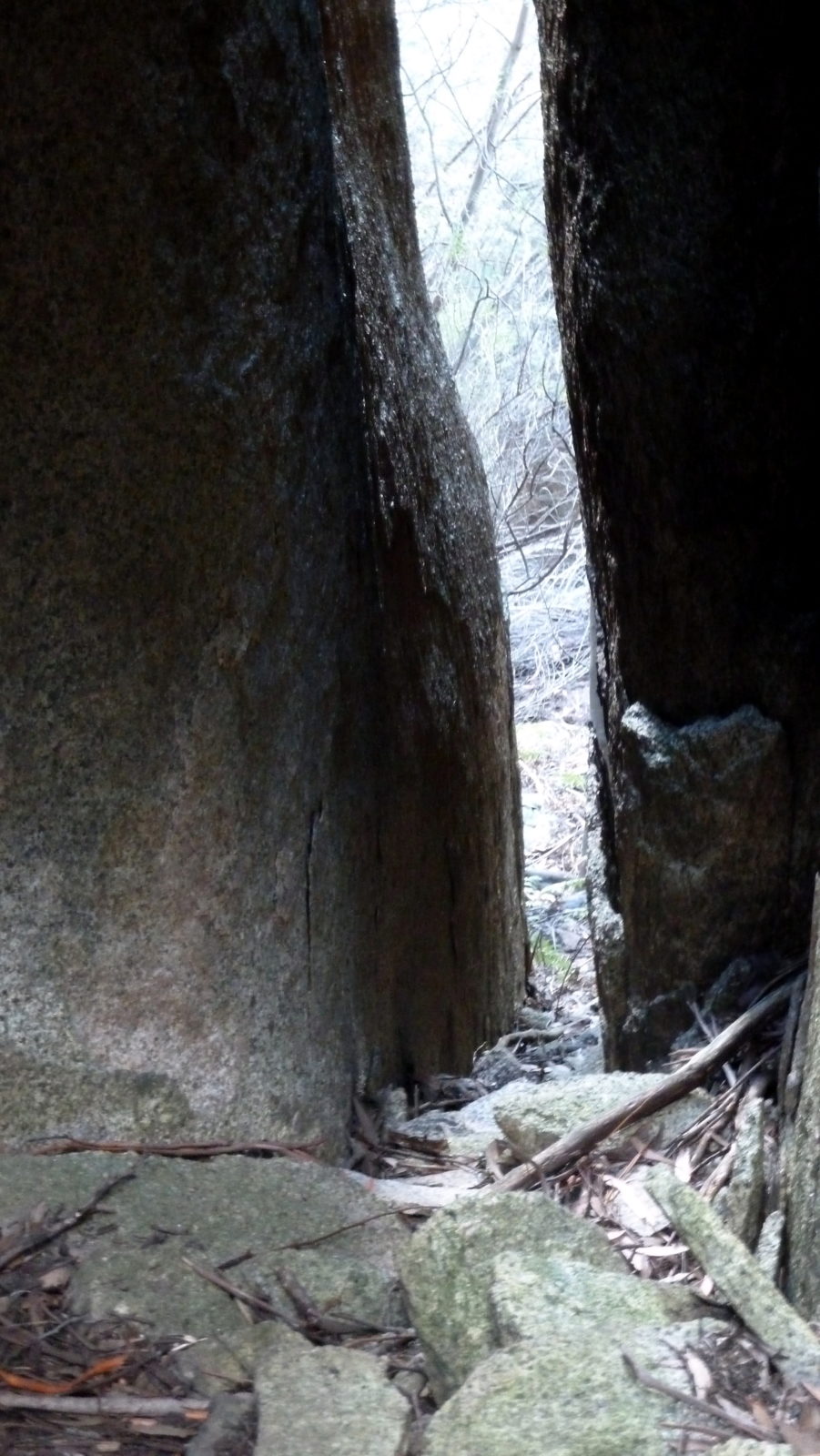
I took pictures as you do and walked around the site to some rocks behind where there is a large slit between two rocks. At the main site you can clearly see some red ochre outlines
Patrick Hookey during a bushwalk July 1981 discovered the site known in the ACT heritage Register as NS2. The document “Excavations at Nursery Swamp 2, Gudgenby Nature Reserve, ACT” – by Andre Rosenfeld and Jonathan Winston-Gregson with faunal report by Karen Maskell gives you a wonderful overview of this site as well of the surrounding area and some history about the site & area.
I had lunch just down the track next to the small creek below. The water was quiet clean and drinkable.
I returned back the way I came optimising the best route until I reached the open fields close to the main path. I then crossed the creek again finding a small piece of wood acting as a bridge across the small narrow creek and soon was able to pick up the blue paint marking on some dead wood that signified the old cut trail that goes west across the valley and then up an over a saddle and down to Rendezvous Creek. I believe the path was cut by fire fighters back in the last 1990s or so and I was first told about it at the visitor centre. Bushwalkers discovered it as they do and have kept it open mainly through use although someone as clearly added the blue markers and the odd coloured tape. The track is slightly indistinct over its first 500m or so but then becomes easy to follow and is an excellent route to Rendezvous Creek. There is a great campsite at the bottom just after crossing the creek and you can then pick up the 4WD trail that goes right down Rendezvous Ck to the Boboyan Road. The 4WD goes a little way upstream but soon peters out.
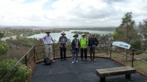
I walked up this track for a fair way and then detoured back across the creek to see if I could get across easily. I was close to the spot where I had been earlier near the rock Art site, so its is quite easy. I then continued along the track up to the saddle. I should have turned around and gone back to the car but being inquisitive I decided to try and walk up the ridgeline to the south to the top of the hill which I believe is known as Nursery Hill. Well I did make it to the top of the ridgeline and was only 100m or so from the absolute top. So that was the high point for me for the day around 1365m.
However on the way up I went through this horrible thick dead scrub that did its utmost best to scratch and claw at my face and eyes and did successfully do so. A lot of this dead stuff was facing downhill and was hard to get past easily. Towards the top I came upon several layers of large rocks including a couple of caves and labelled one rock cave and one rock shelter. As well there seemed to be several, although I only GPS’d two type of small enclosed mini valleys that were surrounded by tall rocks and I had to crawl and edge my way through holes and cracks to get into and out of each. I named each of these as Labyrinths ie 1 & 2. Towards the top I squeezed through this long rising slit but I could only fit by taking off my day pack and edging through sideways feeling the rock scraping my clothes like sandpaper. At the top is another small valley surrounded by rocks on the north and south sides but with this thick nearly impenetrable Namadgi scrub. On the top of the second highest rock I could easily see up the Rendezvous Valley to Cotter Cap and Spilt Rock, down to the Gudgenby Valley and north across to the Orroral Valley. I dreaded going back through the rocks area and was able to push through to the north and after 50m it opened up and I was able to go back down to the north but at least 150m further to the east from the route up I had taken. It was much easier and with less scrub and more open with ferns which was good as I was running out of time.
On the way down I came upon another Rock Shelter. It had three entry points and was formed by one large rock resting on two smaller rocks below it.
Back on the Rendezvous Track it was easy going back down to the open area and then up to the main Nursery Swamp Track and back to the car. It was cooling down as I reached the car.
Overall I climbed from 950m to 1365m & walked a hard 14.5Km
Pictures on Google Photos | GPS and Google Earth files on Google Drive