2019 03 21 Bonner to CCT Border Circuit with MelbaShed
This was a walk from Bonner Oval, Canberra, through Bonner on a western ridge, then up through Oak Hill Environment Reserve to the Canberra Centennial Trail (CCT) at Oak Hill Lookout, then along a short stretch of the track, then down along the fenceline to the Golden Sun Moth displays, finally back though some parks and tracks to Bonner Oval, finishing at Frankies at Forde for coffee and snacks. This was a Melba Shed walk
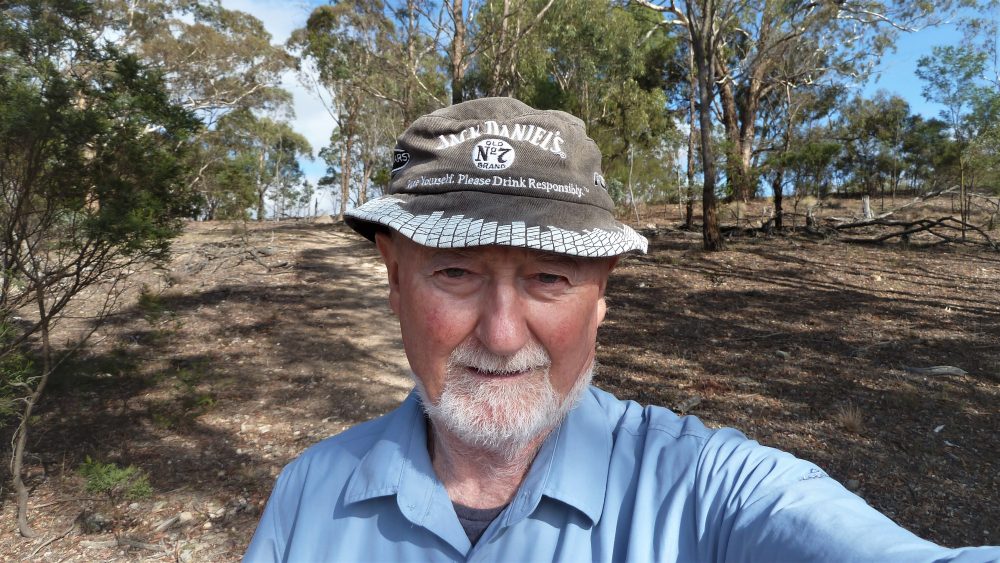
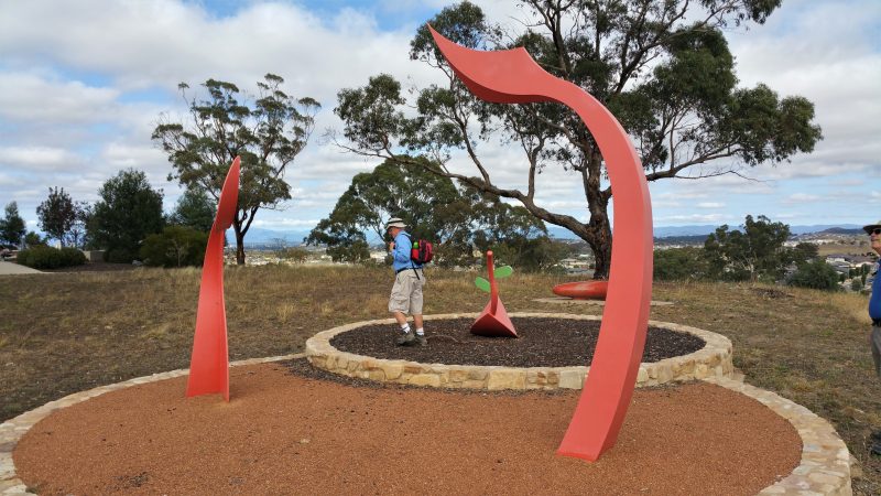
Featured image is of Greg near the Sun Moth Displays
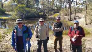
8 Shed members walked. 7 of us met at the Shed by 8AM, then drove to our parking spot at Bonner Oval, where we met 1 more.
Access was from Horse Park Drive, to Mabo Blvd, then at roundabout right onto Burnum Burnum Close which is along the western edge of Bonner Oval.
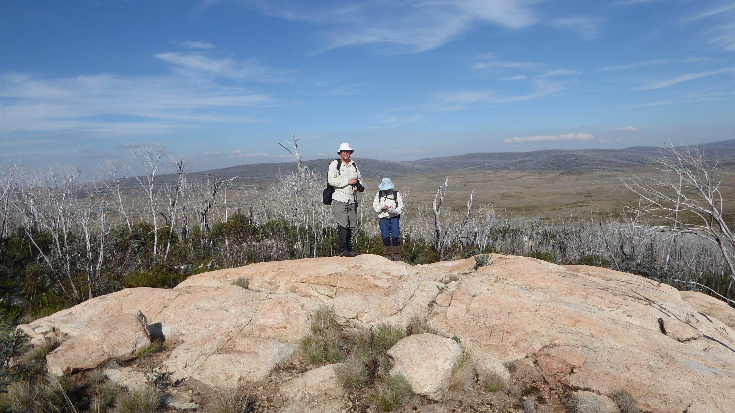
From here we walked along a ridge to the west up to Djerrkura St, then up through some tracks to the CCT at the Oak Hill Lookout. Then we travelled east along some of the CCT on the border, dropping down to the Golden Sun Moth park, then taking local paths back to the cars.
We then retired for coffee etc at Frankies at Forde.
At several parks and numerous spots we saw some iconic architecture pieces provided by Wellspring Environmental Arts & Design as discovered by Paul. They also provided various other open space items such as the nice ochre coloured concrete seats in the shape of a boomerang. We discussed what the red architecture pieces were about. These varied from Aladdin’s flame, to a bushfire, to a perch for cockies, to the tail of a lizard.
We started our walk at 8.35AM and finished back at the Oval at 10.51AM, thus taking 2hrs16mins.
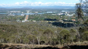
It was a Medium walk, overall of 6.5Km with steep climb from the car park at 630m up to 770m at the lookout, ie 140m overall climb.
The track up to the lookout is quite steep but views are breathtaking
Walkers: Bob Salmond, David Ruthven, Drew McDonald, Ian Ruthven, Neville Viney, Paul Taylor, Rob Hansen, Greg Hutchison.
Drivers: Neville, Paul, Drew.
Map of the walk | More pictures in Google Photos | gps, gpx and GE files are located in Google Drive
Notes: GPS map view on map base using open source OSM NSW cycle map | The area of the walk is covered by the NSW 1:25,000 topo map HALL.