2017 09 07 KamaNR & Butters Bridge with MelbaShed
I led this walk, with 8 of us walking, from Kama NR on William Hovell Drive to Molonglo Sewerage track & the new Butters Bridge & back
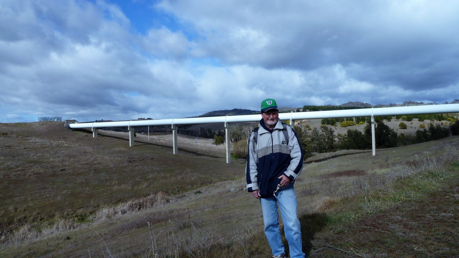
Featured image is Greg (me) in front of Molonglo Sewerage Pipeline as it spans a gully
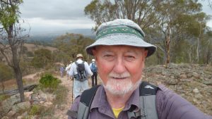
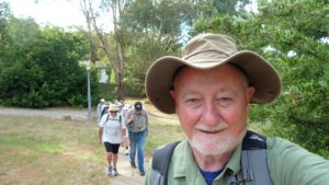
8 walked. 6 of us met at the Shed by 8.00AM then drove in 2 vehicles to a parking area along William Hovell Drive, which is on the north of the road. We were met by 2 more & then from 8.24AM we walked through an underpass to enter Kama NR. In the first section we were surprised by some young cattle used for environmental grazing within the NR.

Then we walked down the west side of the NR until reaching the Molonglo track & followed it east to the new Butters bridge. On the way we stopped to look at a waste vehicle which was depositing sewerage from construction sites into an Icon Water disposal site in the pipeline. We then continued until we reached the north end of the Butters Bridge where a ranger drove up and we had a chat about the future walking, cycling & likely community facilities along the Molonglo.
We then walked across the bridge to where there is a sign to Sir John Henry Butters the first Chief Commissioner of the Federal Capital Commissioner 1924-29. After having a view under the bridge & a quick morning tea break, we returned over the bridge & returned the same way until reaching Kama NR where we used the eastern route to return. However on the return we went down into a gully that goes under a the huge sewerage pipeline above with some taking a shortcut across a small creek. We finished back at the cars at 11.45AM. The weather was cool with around 12C max in the day, although it was colder for us as there was a strong wind blowing at times & with some light showers
We had coffee later at RockSalt at Hawker.
Note: Extreme care needs to be taken when driving along William Hovell Drive in the morning peak traffic. The turnoff to the left is disguised so provide plenty of warning for following cars. The turnoff is exactly 2.1Km on left from Drake Brockman intersection.
The walk was Medium, distance was 11.4Km. We took 3 hrs 20mins
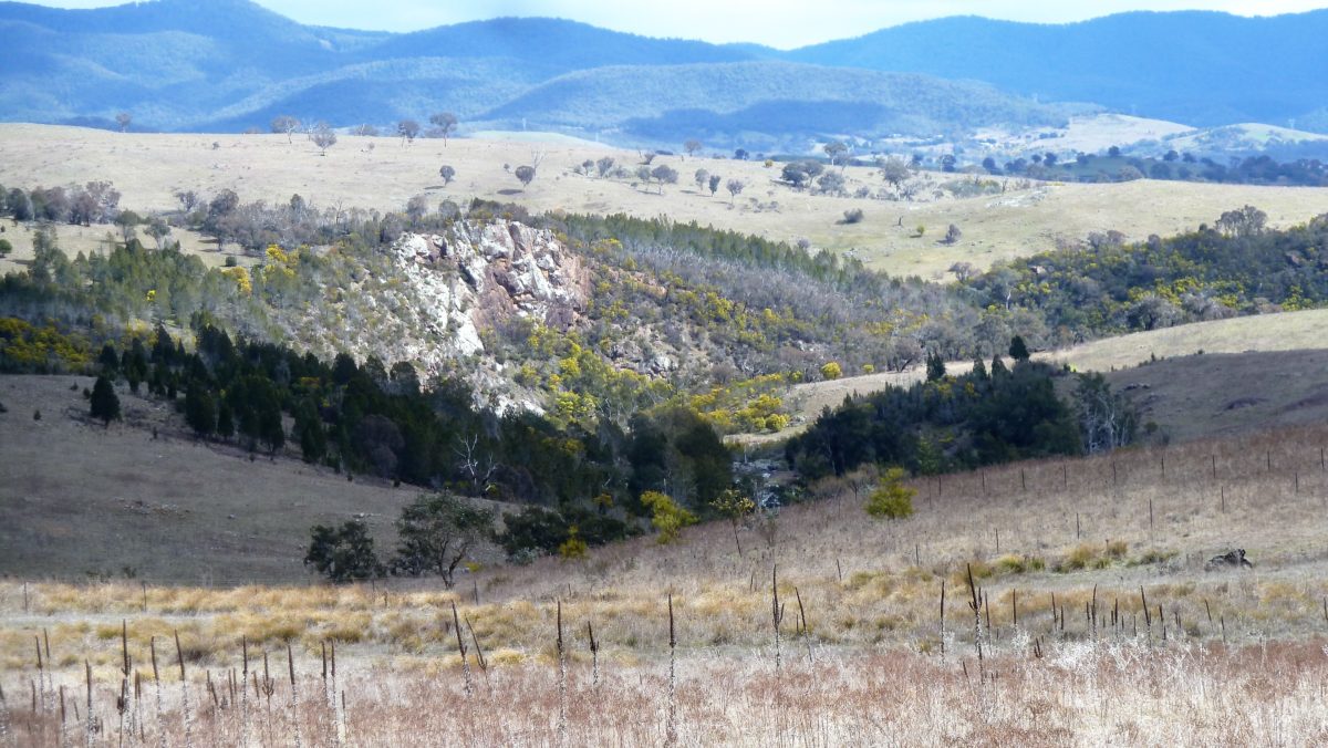
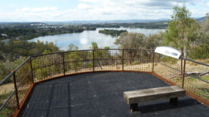
Views. These were excellent up and down the Molonglo with a good view of the beginning of the Molonglo Gorge and the terrain over the Molonglo Valley. Views across to the Brindabellas were also good. We could also see up to the edge of the new suburb of Denman Prospect that should eventually extend down towards Butters Bridge
Walkers: Colin Fitzpatrick, Drew McDonald, Ian de Plater, Paul Taylor, Peter Coppin, Roger Amos, Steve Mawer, Greg Hutchison
Drivers: Colin Fitzpatrick, Steve Mawer, Peter Coppin, Drew McDonald
Map of walk Nth Part | Map of walk Sth Part | More pictures in Google Photos | Google Earth GPS file
Notes: GPS map view on map base using OZtopo Map with permission of © BKK Enterprises Pty Ltd, http://www.gpsoz.com.au | gps, gpx and GE files are located in Google Drive