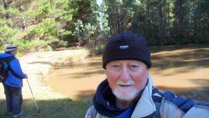
2024 03 14 Cooleman Ridge NR Walk
This was a 9.9Km Medium walk from a parking spot on Kathner St, Chapman, Canberra up the main trail along the western side of Cooleman Ridge Nature Reserve followed by returning over the top of Mt Arawang then back along the eastern edge.
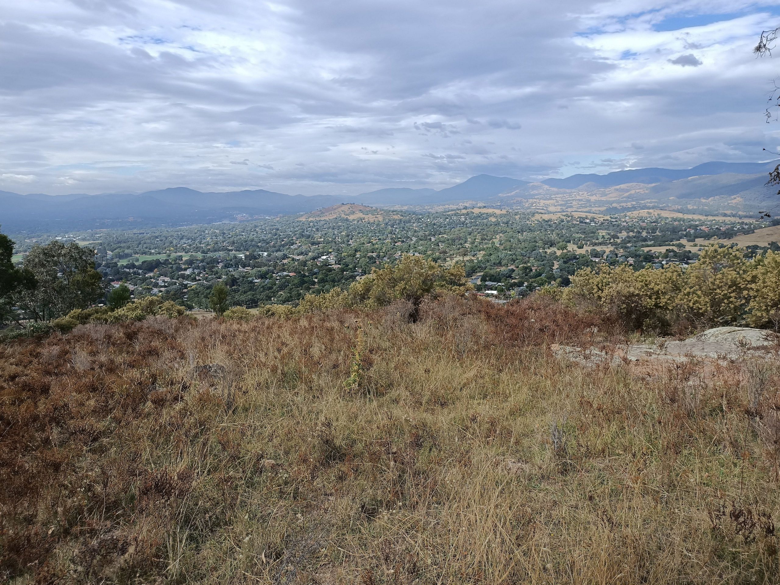
Featured Image is View of the Tuggeranong Valley south of Mt Arawang
Cooleman Nature Reserve is one part of the overall Canberra Nature park. Its located on the western edge of Weston Creek in Canberra. It has a walking track along its western edge as well as one on its eastern side. It also has elements along its central ridgeline that enable people to walk down its central with many cross tracks joining the west side to the east. The Canberra Centennial Trail also winds it way through the reserve.
My walk was a simple one starting at the top, on Kathner St, then walking down the western trail named as Cooleman Ridge and the BNT or Bicentennial National Trail.
I then went around the southern end and climbed up the Summit Trail to Mt Arawang, then down to connect with the Arawang Saddle FT and then the Cutoff Drain FT on the east side. I ended up taking the wrong trail down to the north east ending up in Percy St. Chapman and finally reaching my car at Kathner Drive.
It was a Medium walk of 9.9km, taking 3hrs 9 mins incl breaks.
Map of walk with gps located in Google Drive | Pictures in Google Photos
Notes re Map: GPS Map View provided using Mapsource on an Oztopo base NSW topo map | The area of the walk is covered by the NSW 1:25,000 topo map CANBERRA