2023 02 23 Florey Flynn Mt Rogers Melba Walk
This was a 10.3Km walk along laneways and park areas in Flynn, then up to Mt Rogers and then down along laneways to Melba then across to Florey, in Canberra.
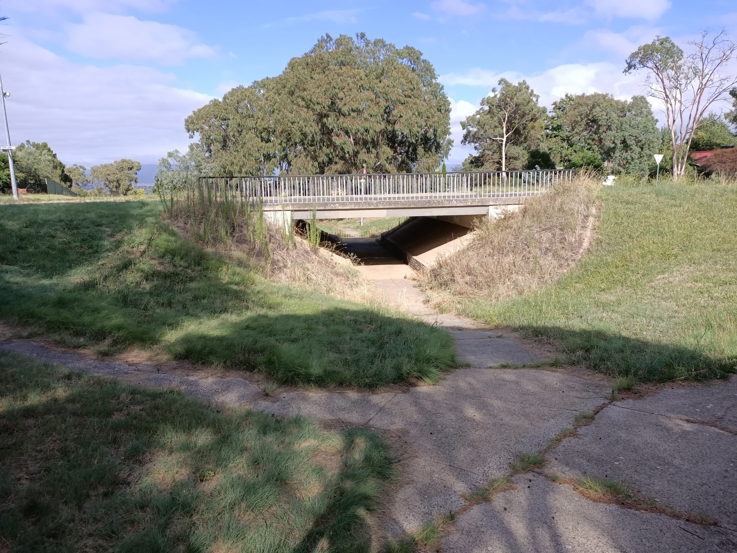
Featured image – Typical Canberra Underpass – This one in Flynn
I started around 8.23AM near my place in Florey and headed west along the edge of Florey until I could take an underpass under Ginninderra Drive to then take another underpass under Kingsford Smith Drive to head west across the edge of Flynn.
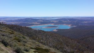
I headed up through several laneways and streets to reach Mt Rogers just above the top of Schwarz Place. I then took some feint footpads up towards the top before taking more footpads across and around the north side to reach the Mobile Phone tower and the Mt Rogers Trig Station.
From here I went down to the south west along more paths until I reached the main path around its base. I then took another feint path back up towards the trig station again before returning down to regain the main path. I then went around a short distance before dropping down to take an overgrown path to cross Bainton Cres, then Kingsford Smith Drive and into Le Gallienne St, Melba. I then deviated via Sampson Close to pick up another path that tool me down past Mt Rogers Primary School.
From here I went via Scarlett St and into Grainger Circuit, then via another underpass past Verbrugghen St. I then crossed a couple of playing fields before taking the path adjacent to Copland Drive past the Melba BMX Track, then under an underpass under Copland Drive before shortly reaching another underpass under Ginninderra Drive. It was then a short stretch back home around 11.30AM. I spent some time after lunch cleaning all the grass burrs and seeds out of my soxes and sneakers.
I think one might now get a feel for the usefulness of the underpasses around the area.
It was an Easy walk of 10.3Km in 3hrs 7m. Walker: Greg Hutchison
Map of walk | Map of Mt Rogers top |files including gps located in Google Drive |Some Photos
Notes re Map: GPS Map View provided using Garmin Mapsource on an OSM Map base. The area of the walk is covered by the NSW 1:25,000 topo map CANBERRA.