2022 08 18 Tuggeranong Railway Station & Old Cooma Railway with MelbaShed
This was a 5.9Km Easy-Medium walk up through Tuggeranong Pines to the old Tuggeranong Station on the old dissused Queanbeyan to Cooma Railway. This was Melba Shed walk No 277 of 18th Aug 2022.
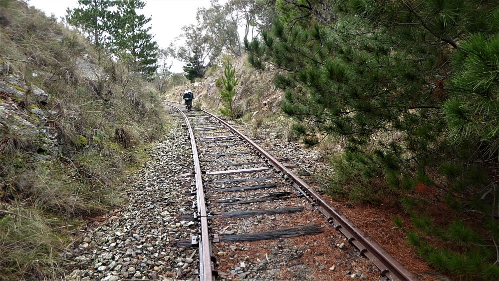
Featured image – Guys walking on Cooma Railway line just north of Tuggeranong Station
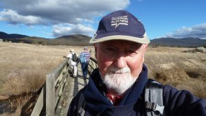
I led this walk with 6 of us walking, including Harry fresh back from his sojourn in Denmark. We all met at Melba Shed by 8.30AM & drove in 3 cars to the Tuggeranong Paintball Centre along the Monaro Highway near Richardson, Tuggeranong. We drove there down the Tuggeranong Parkway & then across via Johnson Drive & up the Monaro Hwy around 1Km to turn right into the centre.
Then from 9.24AM we walked south & into the Tuggeranong Pines area & up via several Mountain Bike Trails to Gate 4 (see map) along the Old Tuggeranong Road which was adjacent to the old Melrose TSR.
Then walking along the road we came to the entrance to the Melrose Farm where there was an old ACT border original marker post. This was strange as it was 150m from the real border.
We then went along the road to the Railway & then walked south along the line as well as the nearby Station Siding where they apparently loaded & unloaded stock onto appropriate wagons to be transported by rail. We then went back north & walked along a lot of the rail until we reached a spot where we exited west & took another trail back.
From this location there is a track west to an underpass under the Monaro Hwy which lets people enter/exit Gilmore. Thus its possible to park in Henry Melville Cres, Gilmore. Maybe next time!
We took the new path back along an open area passing a water tank & mobile phone tower before walking back past the Paintball facility to reach the cars around 11.52AM.
After we went to the bakery in Kambah Village for coffees, milk drinks & some pies.
The walk was Easy-Medium of 5.9 Km taking some 2.5hrs.
Walkers: Bob Salmond, Drew McDonald, Harry Angel, John Fuller, Tony Weir, Greg Hutchison
Drivers: John F, Drew McD, Greg
Map of walk | Pictures in Google Photos | files including gps located in Google Drive
Notes re Map: GPS Map View provided using Garmin Mapsource on an Open Street Maps (OSM) base| The area of the walk is covered by the NSW 1:25,000 topo map TUGGERANONG.
Some references about the Queanbeyan to Cooma or Bombala old Railway
- Old Tuggeranong Station from Wikipedia
- Goulburn to Cooma Railway Extension from Trove
- “Melrose Valley Preliminary Cultural Survey Report, PART 2: MELROSE VALLEY PRELIMINARY HISTORICAL ARCHAEOLOGICAL SURVEY REPORT”
- Walking Trail to the Old Tuggeranong Railway Border
- Photo of the Old Tuggeranong Station from Trove (looks reversed?)