2021 05 26 Rendezvous Creek – Namadgi
This was a 13.8Km walk from a car park on Boboyan Road next to Rendezvous Ck in Namadgi National Park (NP) ACT, Australia to a special site to help Bruno in his study of turtles.
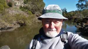
Featured image – Bruno in Rendezvous Ck valley surrounded by numerous kangaroos
I drove to Bruno’s place in Belconnen and we set out down the Gungarlin Drive and Tuggeranong Parkway around 7.30AM, then across the Murrumbidgee Bridge at Tharwa and into Namadgi National Park.
We then continued down down the Boboyan Rd to Rendezvous Creek where we parked and then from 9.00AM we walked out along the short Rendezvous Ck track, across a metal bridge and then along to a wooden picnic table.
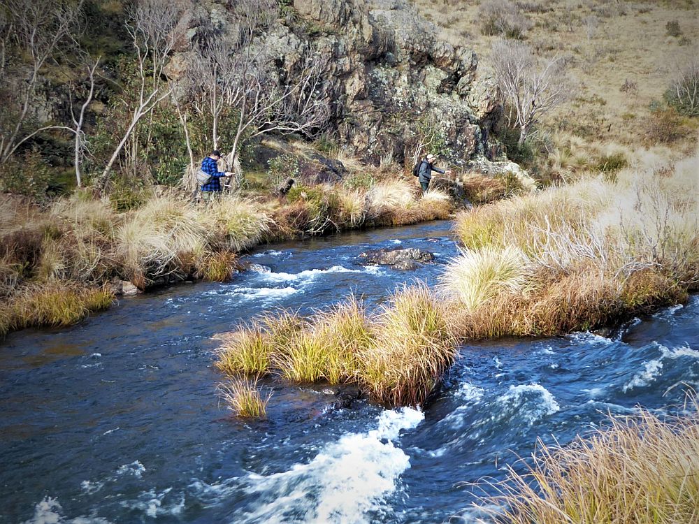
From here we headed south along a vague 4WD track until we reached a more formed and well used track that headed west across open fields and past numerous roos.

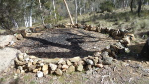
We continued on to reach the ruined remains of Rowleys Hut site. This hut was burnt down in 2003, by persons unknown. There were thoughts that it may have been done deliberately by pig shooters, however police investigations were inconclusive. The hut was built of timber with rare horizontal weather boards. It had a low pitched corrugated iron roof line. The extension had walls of corrugated iron. There was one fireplace, with the chimney built from iron. The hut was built in 1950 by Stan Cregan for Rowley Gregory for grazing, after Rowley had aquired the 2000 acre Gudgenby property. His family had a long association with the region. Being an isolated holding away from the main homestead, this hut provided a small overnight shelter, essential for them to maintain their operation. The hut was extended in 1973 by Gregory and Len Blundell, who used iron rather than palings for the new walls on two sides. (Information mostly from John Evans Blog).
We then continued past the hut site on the 4WD track that goes way up the valley.
After around 1.1Km we left the 4WD and gradually headed uphill to the south (I believe its Mavis Ridge). The going was reasonable but we zig zagged around various rocks, trees and patches of scrub regrowth. After around 400m we headed uphill in a south west direction for around 300m to reach a hidden rock art site.
The entry to the site is now heavily covered with regrowth wattle (I think) and will become difficult in the future. Bruno was impressed as he hadn’t seen any rock art before. We were careful not to touch the surfaces around the paintings nor stir up dust, etc. Bruno could not definitively see any turtle pictures and most were hard to define.
We then headed back down to the old 4WD and headed east to eventually reach Rowleys Stockyard and Robinia Grove. However I made a mistake in navigating and we ended up doing a circle around the area before we reached the site. Here we stopped for for lunch although it was now quite windy with wind gusting strongly down the valley.
We then went back along the main trail. We then reached the car around 2.04PM. Quite close to the car park we noticed a memorial plaque had been cemented to a small standing rock. It memorialised The Dude and the Dame i.e. Mum and Dad, Tommy and Sally Freeman Phillips-Brown. Apparently they re-found themselves after the tragic loss of their son Danny. It seems as though they visited Namadgi a lot over 27 years and both have now had their ashes spread in the park. Picture of the plaque is in the album.
It was a a easy type of walk with only minor climbs of 13.8Km, taking 5hrs 4m, 9.00AM to 2.04PM.
Note the Rock Art site should not be visited unless you have a specific reason for going there. You would be better served visiting Yankee Hat site once it is reopened as its paintings are much better. ACTP&W do not advertise this site anymore at the request of the traditional owners.
Map of walk | Pictures in Google Photos | files including gps located in Google Drive
Notes re Map: GPS Map View using OZtopo Map with permission of © BKK Enterprises Pty Ltd, http://www.gpsoz.com.au | The area of the walk is covered by the NSW 1:25,000 topo map RENDEZVOUS CREEK