2020 05 21 Mulligans Flat – Wetland and Ground to Sky Walks with MelbaShed
This was a 6.6 Km walk around Mulligans Flat Wetland and Ground to Sky Walks in Canberra. This was Melba Shed walk No 229 on 21st May 2020.
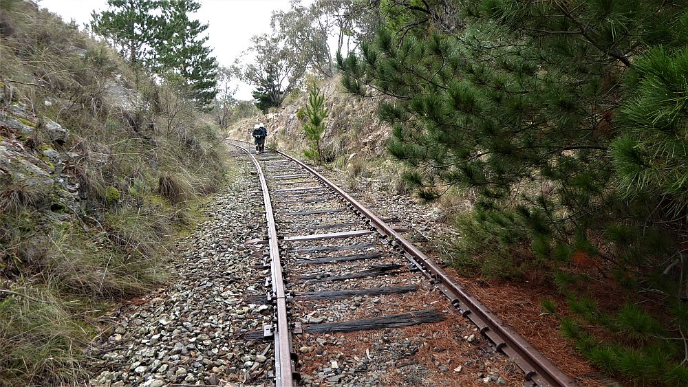
Featured image – Reflections in Wetland Walk Dam in Mulligan Flat Nature Reserve, Canberra
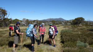
Drew led this walk with 7 walking. 4 met at Melba Shed by 9AM & drove in two cars to Shingleback St, Throsby, where we met 3 more. The walk was based on two walks the Wetland Walk and the Ground to Sky Walk. There is an app for both Apple i-Phones and Android Mobiles that is available with audio descriptions at various points along each track.
The Android App link and the Apple i-pone app link
Then from 9.28AM we walked in a circular fashion. Initially we went west on the Wetland Walk to the large dam, then north & east around the dam, before heading across country, along an electric fence, before heading south-east to pick up the Ground to Sky Track.
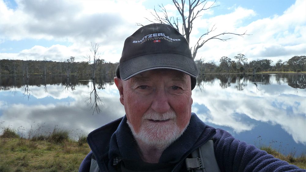
It then took us back to the north-east to climb up Sammy’s Hill (727m ASL) which afforded nice views south & west over Gungahlin & the hills & ridges all around. On the way up the hill we stopped to look at a cattle watering tank & could see how a float kept the trough filled with water from a pipe under the ground.
It seems that some paddocks between Mulligans, Gooroo & Throsby are still being grazed. We went down to the south and then had to walk back along a fenceline & finished back at the cars about 11.58AM.
Afterwards 4 of us retired to Frankies at Forde for coffee & shakes.
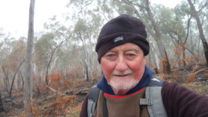
The weather was supposed to be cool with some showers possible. However it turned out to be mild and fine and a perfect day for walking.
The area of Mulligans Flat is now integrated with Goorooyaroo Nature Reserve to its east and both are managed as one large reserve. The northern boundary is the NSW border, the eastern boundary the Federal Highway, and the western boundary the suburbs of Forde and Bonner.
Easy-Medium walk, of 6.6km, taking around 2hr 30m.
Walkers: Bob Salmond, David Leach, Drew McDonald, Harry Angel, Steve Mawer, Neville Viney, Greg Hutchison
Drivers: David Leach, Drew McDonald, Harry Angel, Steve Mawer, Neville Viney
Map of walk | More pictures in Google Photos | files including gps located in Google Drive
Notes re Map: GPS map views on map base using open source Open Street Maps (OSM) NSW Garmin map using Garmin Mapsource | The area of the walk is covered by the NSW 1:25,000 topo map HALL although with all the changes Open Street Maps is a better source of information