2019 12 19 Gungahlin Pond & Percival Hill with MelbaShed
This was a 6.4Km walk taking 1hrs 46mins for a circular route from Gungahlin Lakes Club around the Gungahlin Pond and up Percival Hill and back around the Pond to the Club. This was Melba Shed walk No 220 on 19th Dec 2019
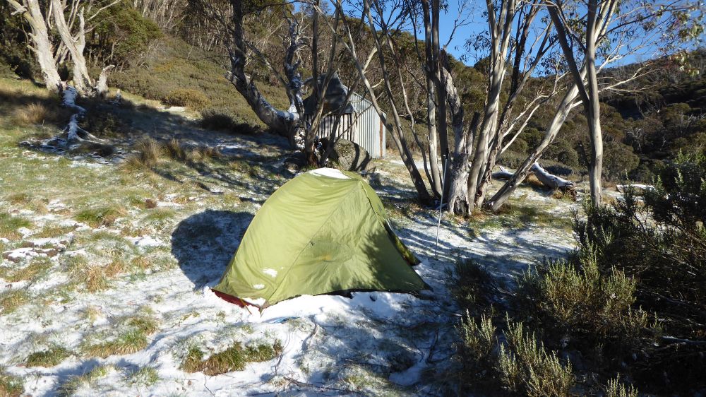
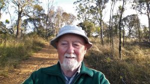
Featured image – some of the guys at Percival Hill
I led this walk with 7 walking. 6 of us met at the Shed by 8AM and then drove to the club where we met one more and one cycling. The day was going to be a scorcher with 40C predicted. So we undertook this walk with some trepidation. However it worked out well and the temperature later only made it to 38.3C.
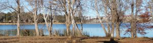
We started walking at 8.30AM and went south along Gundaroo Rd which was dug up for road works before turning into a local street then along a path around Gungahlin Pond. In this process our cyclist went on and we never saw him again.
We then crossed the dam wall and then climbed up and then left into a well wooded area that took us past a pond and up to Percival Hill. The lower area and most of the area really was quite devoid of ground cover and obviously heavily impacted by the dry conditions. The few roos we saw also looked impoverished and depressed.

At the top we viewed the surrounds with the south view now impacted by a large Icon Water sewerage vent pipe which towers over the Barton Highway roundabout like a new form of mobile tower. The view over the CSIRO area showed very dry and dead looking fields and views over the Pond to Gungahlin were impeded by the bush fire haze.
We then decided to take the most direct route back so we went north along the main ridge before turning down towards the edge of Nicholls to the north until we regained the path around the Gungahlin Pond. It was then a simple trudge around the Pond until we reached our cars at the Club carpark around 10.16AM so we could have morning tea at Gungahlin Lakes Club.
This was an Easy-Medium walk of 6.4KM taking 1hour 46 mins.
Walkers: Bob Salmond, David Ruthven, Drew McDonald, Harry Angel, Neville Viney, Peter Coppin, Greg Hutchison | Drivers: Peter Coppin, Harry Angel, Drew McD, Greg H. | Cyclist: Steve Mawer
Map of walk | More pictures in Google Photos | files including gps located in Google Drive
Notes re Map: GPS map views provided using Garmin Mapsource with map base from OSM an open source service | The area of the walk is covered by the NSW 1:25,000 topo map CANBERRA